-
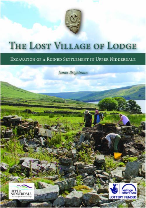 The ruined settlement of Lodge lies at the remote head of Nidderdale on the eastern fringes of the Yorkshire Dales. Before the creation of the great Nidderdale reservoirs, however, Lodge was a thriving hamlet on the early packhorse route to Coverdale and Wensleydale. Having developed from a medieval grange farm, Lodge represents over 700 years of upland history fossilised in crumbling stonework and turf-covered walls. The Lost Village of Lodge was a community excavation project undertaken in 2016 as part of the HLF-funded Upper Nidderdale Landscape Partnership. This volume tells the results of that work. B5 volume available for download as pdf ISBN: 978-0-9933106-2-1
 -
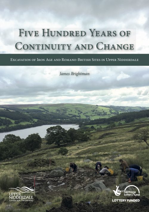 B5 volume available for download as pdf ISBN: 978-0-9933106-4-5Among the high moors of Nidderdale in North Yorkshire, the remains of low stone banks and walls have hidden for millennia. These farmsteads and homes of our prehistoric and Romano- British ancestors can give us an insight into how people lived in times long removed from our own. They often go unrecognised and unrecorded, however, lost among the moss and bracken. This volume describes the results of work undertaken as a partnership between the Heritage Lottery-funded Upper Nidderdale Landscape Partnership and the Prehistoric Nidderdale project. Following extensive survey work, a team of volunteers excavated four Iron Age and Romano-British sites on the upland fringe. The results were surprising, informative and hugely valuable for our understanding of a period of Nidderdale’s past which is poorly understood.
 -
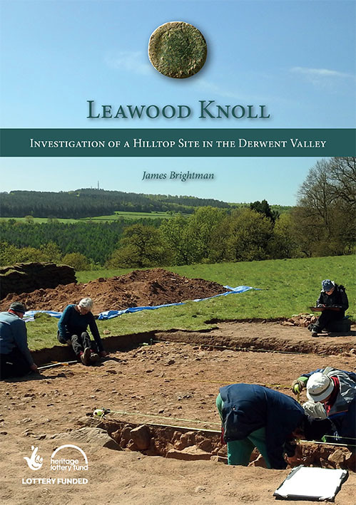 B5 volume available for download as pdf ISBN: 978-0-9933106-3-8The hill of Lea Wood stands, with its twin Bow Wood, on the east side of the Derwent Valley to the south of the industrial crucible of Cromford. It looms over the narrow defile of the Lea Brook and stands prominent over the villages around it. A known focus for medieval and post-medieval woodland industry, the summit of the hill is crowned by an enigmatic earthwork enclosure, hinting at activity in earlier centuries - and possibly millennia. In spring 2017, a group of local volunteers, with support from the Heritage Lottery-funded DerwentWISE Landscape Partnership and Derbyshire County Council, mounted an archaeological investigation of the remains on Leawood Knoll. This volume tells the story of that project and the discoveries that were made.
 -
 ISBN: 978-0-9933106-6-9Richmond School has a history spanning back over 600 years. From its medieval origins, to the building of the magnificent Gothic Revival Grammar School and through to the innovative 20th- and 21st-century architecture of the Darlington Road campus, the school is a pillar of the town. This book recounts the history of an institution which has provided a formative experience to generations of Richmond’s inhabitants.
 -
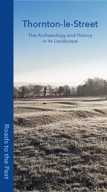 ISBN: 978-0-9933106-8-3Join us on a journey into the past. Discover the story of a village and its people from the time of our earliest ancestors, through its medieval heyday and onto its place in the modern landscape of North Yorkshire. Roads to the Past was a community archaeology and history project led by the Thornton-le-Street History Group and funded by a grant from the National Lottery Heritage Fund. Between 2017 and 2019 a large group of dedicated volunteers and residents ventured into their village’s past. This is the story they uncovered.
 -
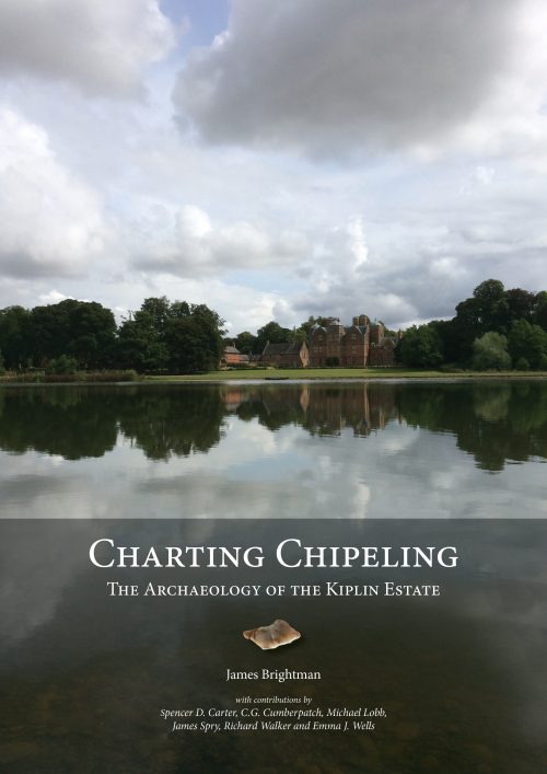 The Charting Chipeling project was a volunteer-led archaeological investigation of the grounds of Kiplin Hall in North Yorkshire. Through the course of 2014, local volunteers and schoolchildren undertook research, survey and excavation, piecing together the different stands of evidence. The story of the Charting Chipeling project is told in this volume, charting the growth of an estate from its origins as medieval grange, through the dynamic expansion of the 18th century, to its height as a Victorian country seat. ISBN: 978-0-9933106-4-5

